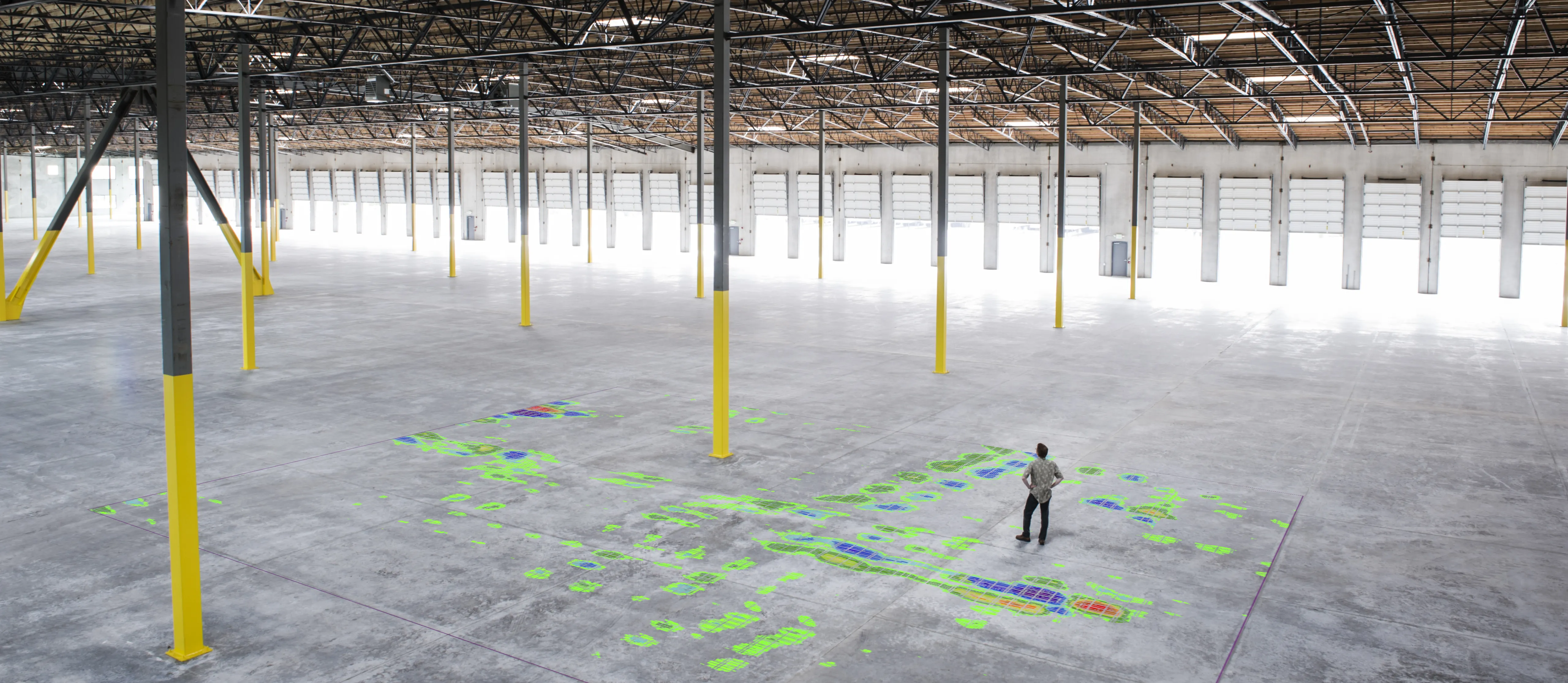
Our SR Reports contain essential statistical records of the floor geometry to help understanding the nature of the irregularities. The documents also include custom scale engineering maps for each type of errors for easy visualisation, as well as detailed CAD files and coordinate lists to help the site team finding the location and the exact size of the errors.
Conventional ways of floor flatness survey require different devices to address different flatness attributes, which means that the survey has to be repeated as many times as there are properties in the specification using different instruments.
FLAT4™ uses laser scan data to calculate the above-mentioned deviations. So the survey is done once, but we can run infinite different types of calculations on the same digital model. Due to our proactive R&D-based approach and modular architecture, new and bespoke standard integration is guaranteed within a business quarter of the release of the specification matrix.